Posts with tag 'Hiking Central Oregon'
Subscribe and receive email notifications of new blog posts.
 RSS Feed
- 2026 | 72 Posts
- 2025 | 103 Posts
- 2024 | 110 Posts
- 2023 | 72 Posts
- 2022 | 52 Posts
- 2021 | 70 Posts
- 2020 | 84 Posts
- 2019 | 38 Posts
- 2018 | 48 Posts
- 2017 | 39 Posts
- 2016 | 31 Posts
- 2015 | 10 Posts
3
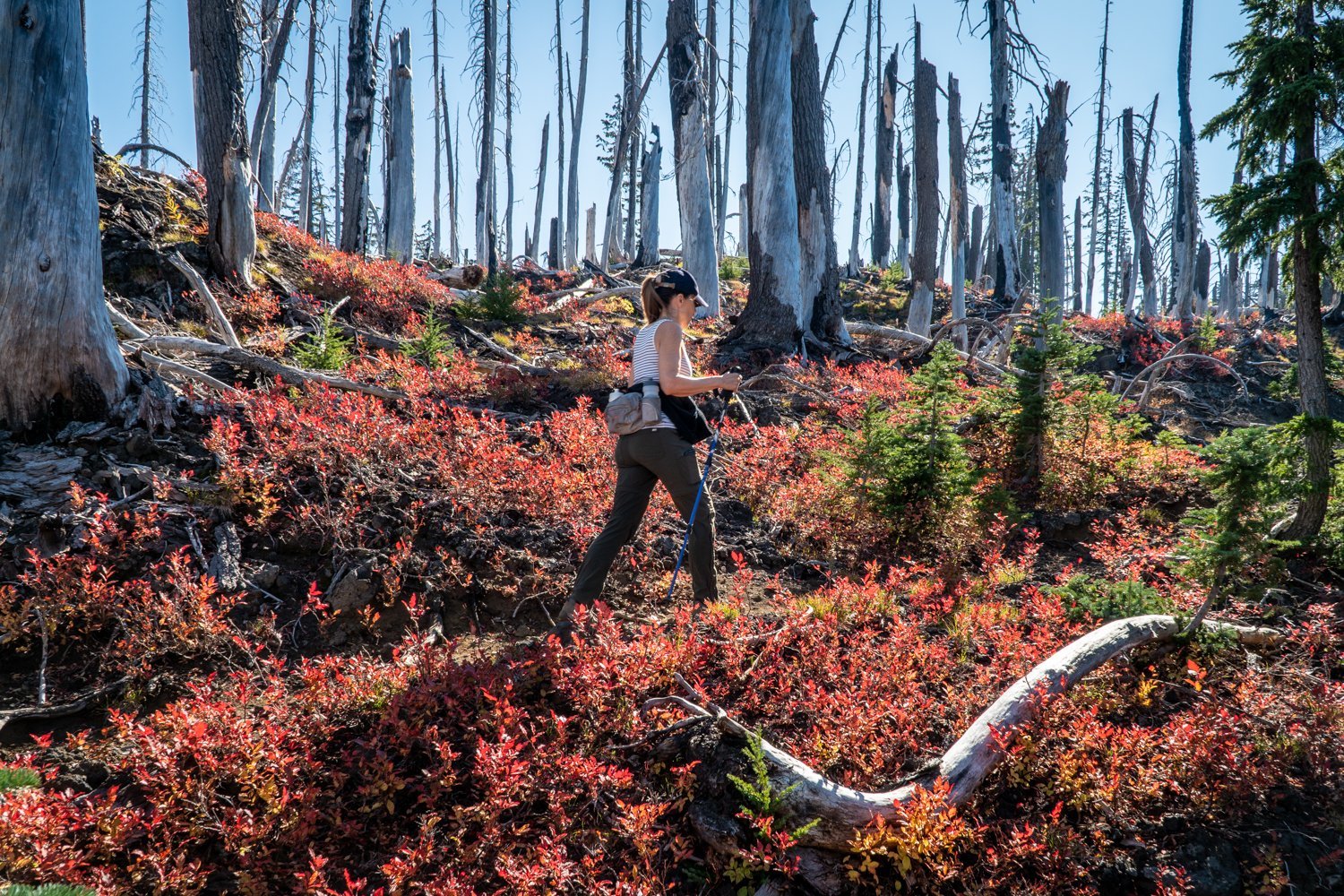
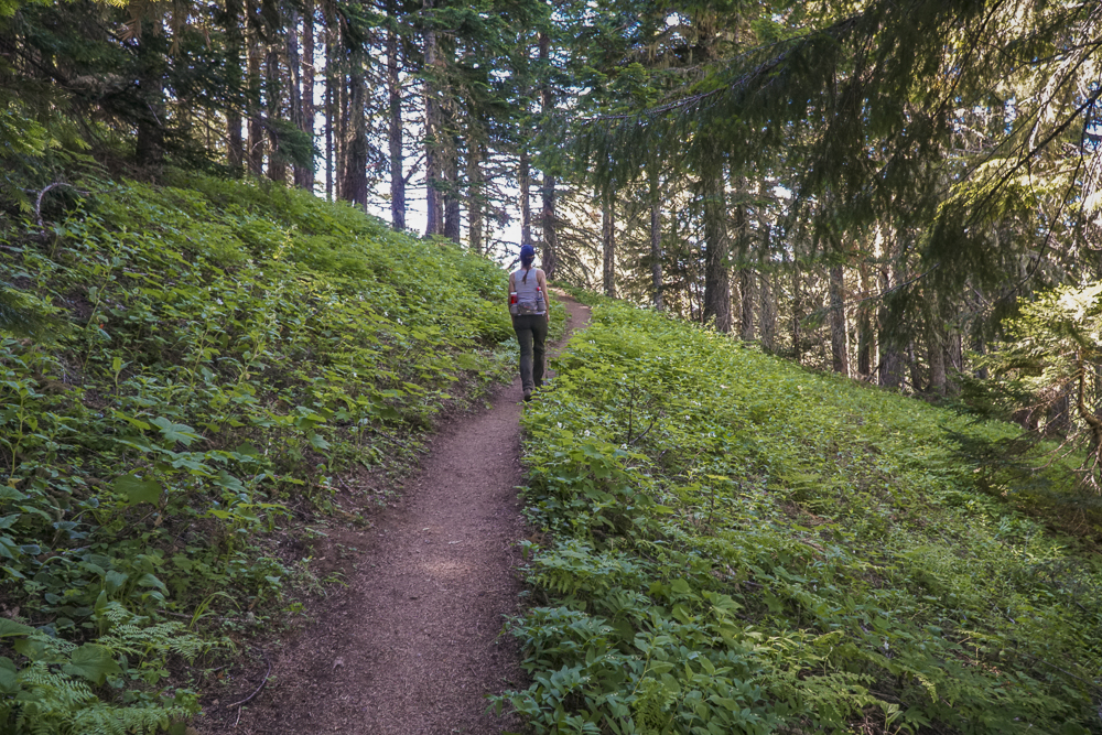
Iron Mountain Hike 2023 - Wildflowers and People!
Iron Mountain is Known for its Wildflowers
We have hiked Iron Mountain yearly since 2020, with each experience a little different. For those not familiar with Iron Mountain, it is a unique "Special Interest Area" in that it provides for over 300 species of wildflowers in various meadow, forested, and rocky environments. Each year the experience has been different, although our hike is typically done during the same few weeks in late June or early July. This year, our hike on July 1, 2023, was warm and we met many other very friendly people and families enjoying the same experience. The hike itself can be challenging and if hikers follow the route we do (which includes the Cone Peak Trail and portions of the Santiam Wagon Trail) the trek will amount to over 1900 feet of elevation gain and a total of 7 miles. We suggest getting an early start, take your camera, and don't rush the experience of seeing the lovely flowers and stunning mountain views from the summit.
To access the trailhead, travel west from Bend over Santiam Pass to the junction with Hwy 126. Take this until Hwy 20 (towards Sweet Home and Albany) branch off. Travel on Hwy 20 several miles until you reach Tombstone Pass. Park in the parking lot there (bring your forest pass) and start the Cone Peak Trail at this location.
 |
 |
16
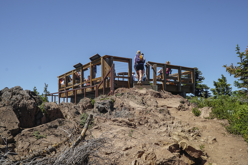
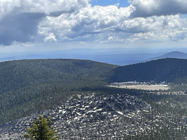
Paulina Peak in Newberry National Monument Open for Hiking!
Paulina Peak in Newberry Crater Provides Great Views
We have hiked Paulina Peak a number of times over several years, but haven't had the opportunity to do so this year until last Saturday, June 10, 2023. After a long winter with a lot of snowfall later in the season, access to higher elevations has been limited. However, the road to Paulina Peak provided us who hiked or mountain biked a chance to climb to almost 8000 feet and experience the beautiful views available from the top.
The road to Paulina Peak climbs 1600 feet over 3.75 miles, slightly longer than the trail, but easier to travel on, especially with snow on the trail and no motorized vehicles allowed to drive the road yet. While people were entering Newberry Volcanic National Monument and driving to Paulina and Eastlake, we saw no other hikers on the road to the Peak while we were there. Rather, only one mountain biker passed us during our hike and we chatted for a bit at the viewpoint at the top before he headed down. All in all, it was a wonderful day for a great hike in Central Oregon.
 |
 |
2
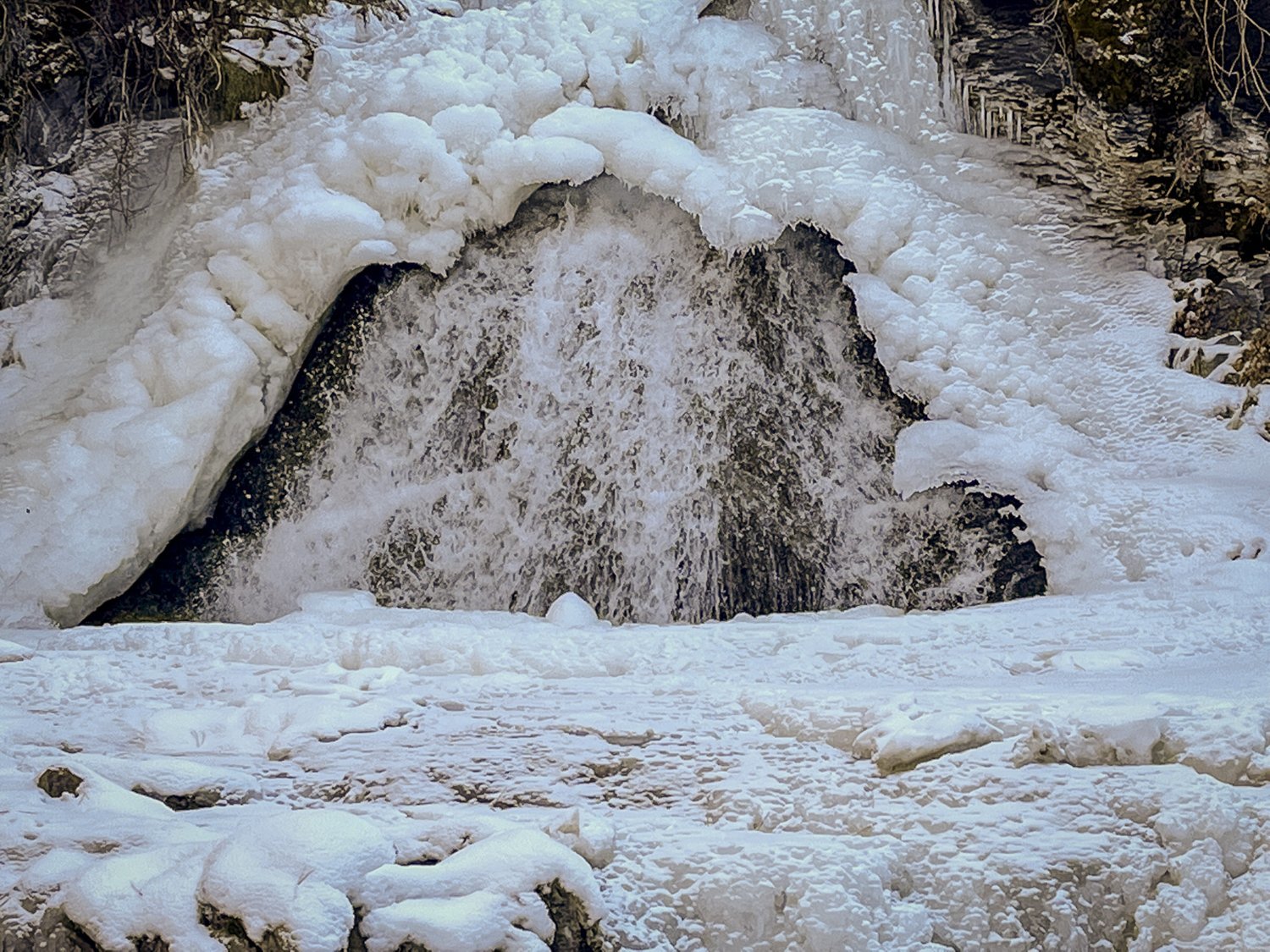
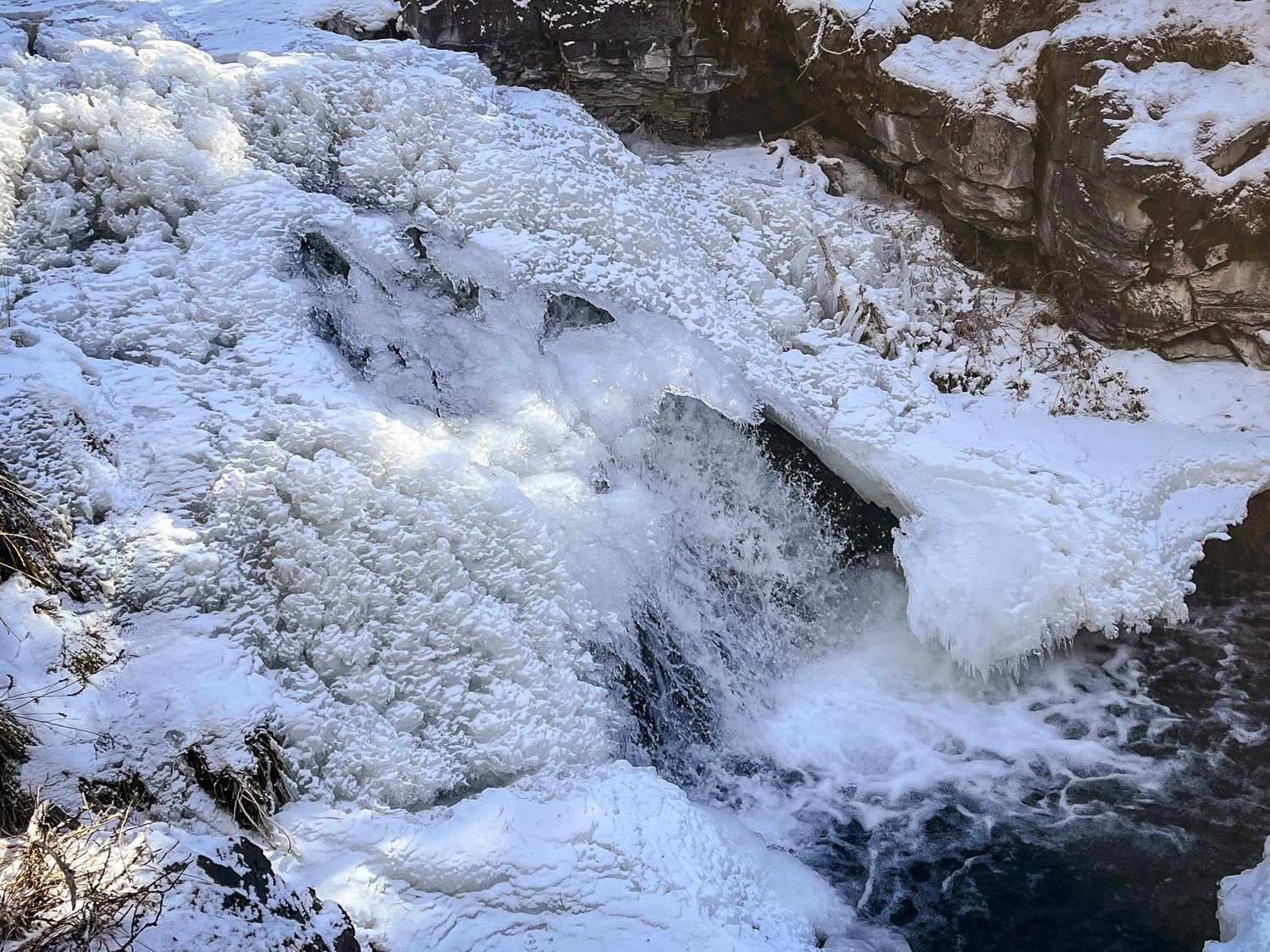
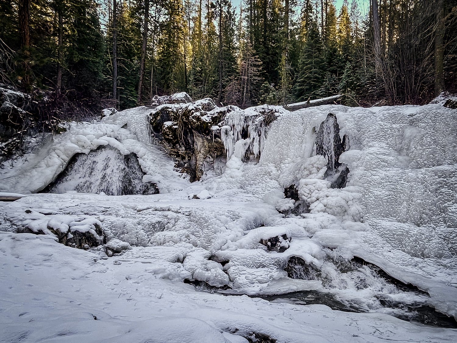
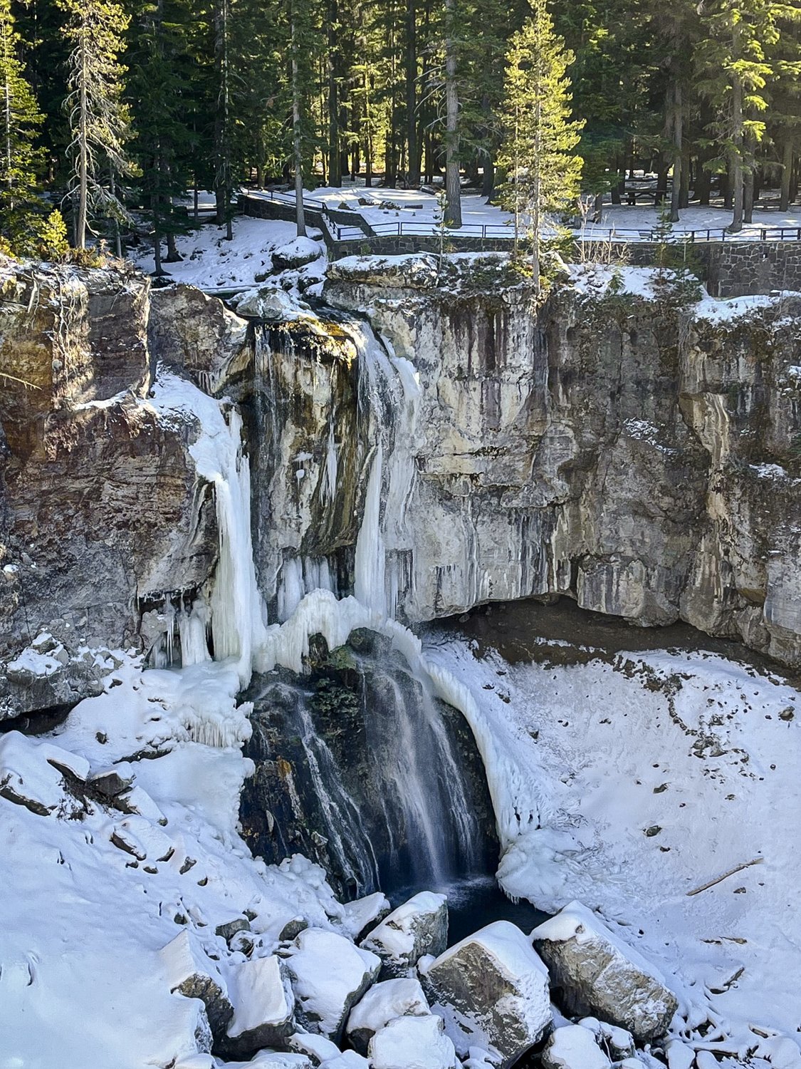
Chasing Frozen Waterfalls in Central Oregon
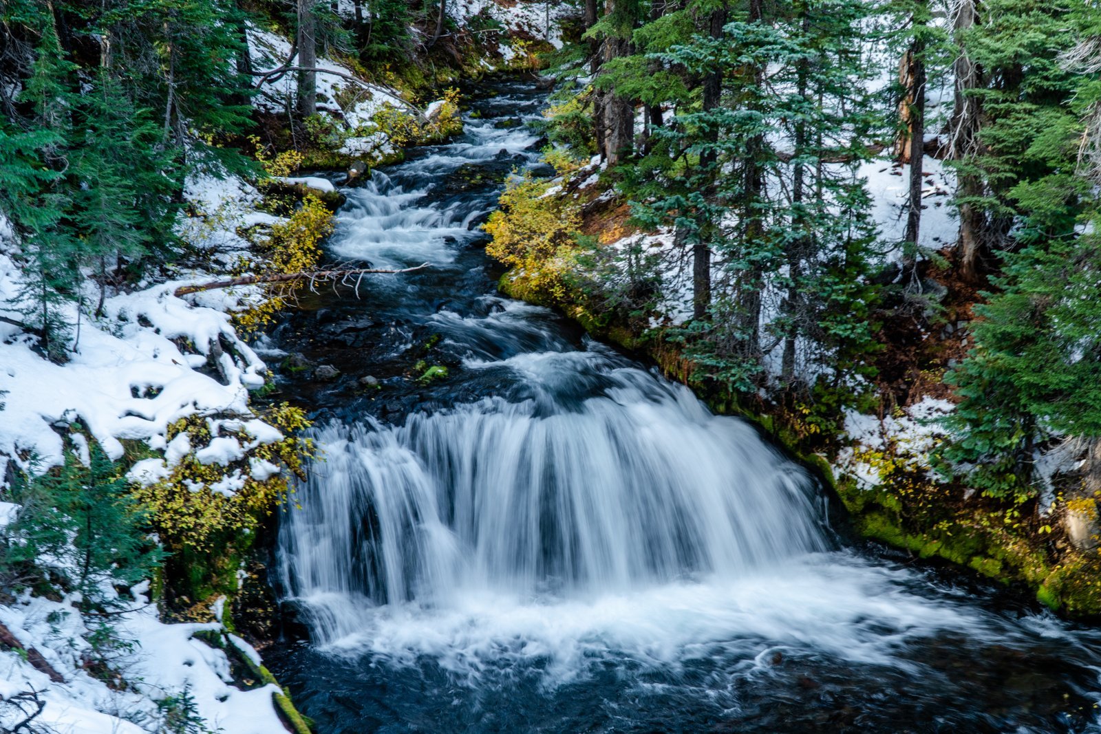
Paulina Creek in Late Fall Worth Seeing
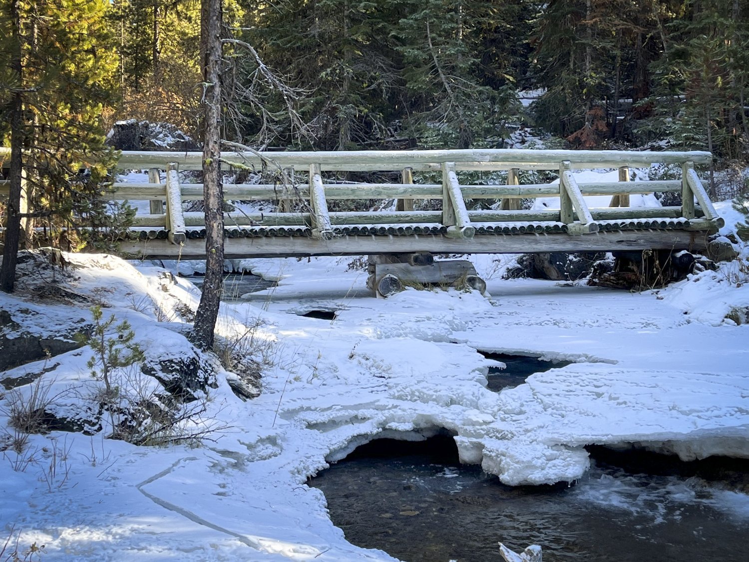
We have hiked the Peter Skene Ogden trail many times, but we never tire of doing this when the weather turns cold. Paulina Creek freezes and the multiple waterfalls along the trail turn into beautiful works of art with ice sculpted into interesting shapes. The sounds of the running water are also muffled when the ice gets deeper and the quiet and isolation of the hike will amaze. On November 26, 2022 we hiked Peter Skene Ogden trail from McKay Crossing campground up Paulina Creek planning on going as far as the early snow permitted. We we pleased to find we could trek the entire way to Paulina Falls using our micro spikes as the trail was icy; the deepest snow was roughly a foot in a shadowed gully roughly 2/3 of the way to Paulina Falls. During the hike we enjoyed total privacy with no other hikers seen the entire day. But the views of the partly frozen waterfalls were lovely and the 13 miles in and out were well worth the experience. We highly recommend this hike in the winter, but be prepared for deep snow as the season progresses.
 |
 |
 |
 |
4
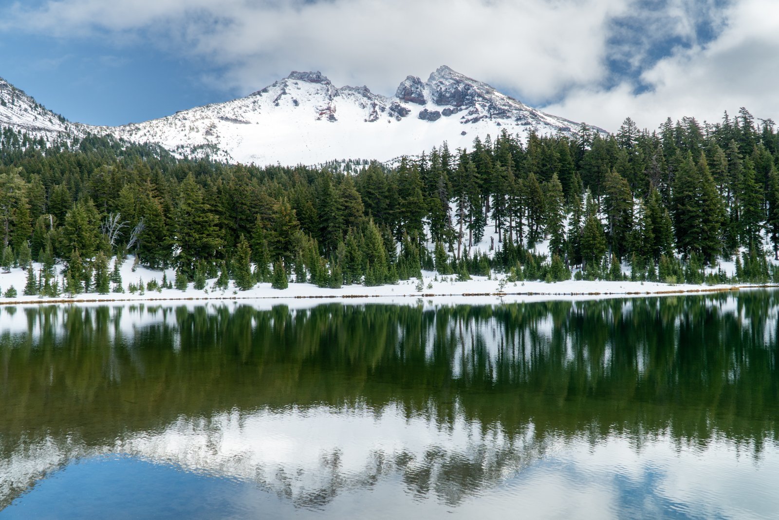
Green Lakes in the Fall, 2022
Green Lakes is One of Central Oregon's Most Beautiful Hiking Destinations
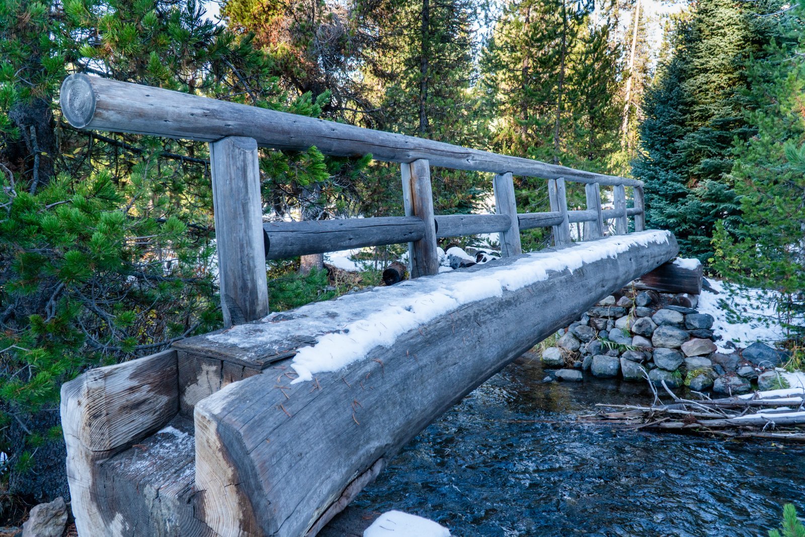
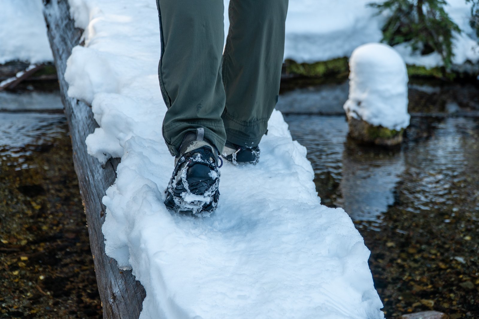
We have hiked to Green Lakes many times over the years, with each visit unique and special. However, the hike we experienced 10-29-22 has to have been among the very best, something we would call magical. The first snow of the season had fallen earlier in the week, but the day was brilliant with clean, clear air (all summer forest fires finally out due to the snow). The trail was a bit icy, but with microspikes, the packed snow was easy to manage.
 |
 |
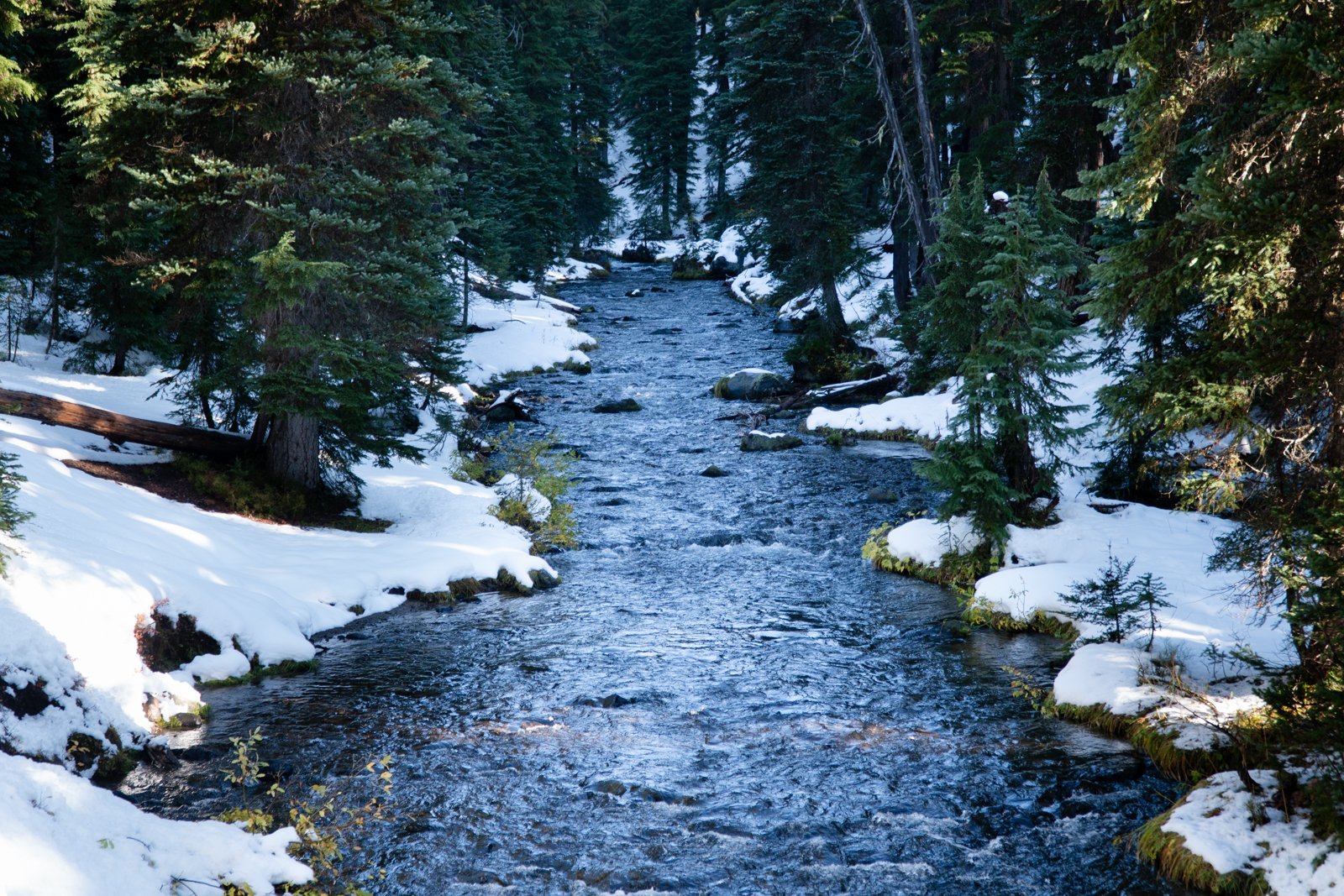
The early snow covered a lot of the fall foliage, but Fall Creek with its numerous waterfalls was full and beautiful. And every now and then some lovely fall color could be seen.
 |
 |
When we reached Green Lakes, the handful of people we saw during the hike all traveled to the peninsula on the main, largest lake. However, we hiked to the first, smaller lake, post-holing through one foot of snow to the far side of the lake which provided us with stunning views of South Sister mirrored in the lake water. We sat on a fallen tree trunk and watched the lake and mountain for 45 minutes, seeing the clouds near South Sister's summit eventually blow away. During this time, we didn't see another person. On our return to the main trail, the views of Broken Top were the best we had ever seen from Green Lakes. It was truly a magical day.
19
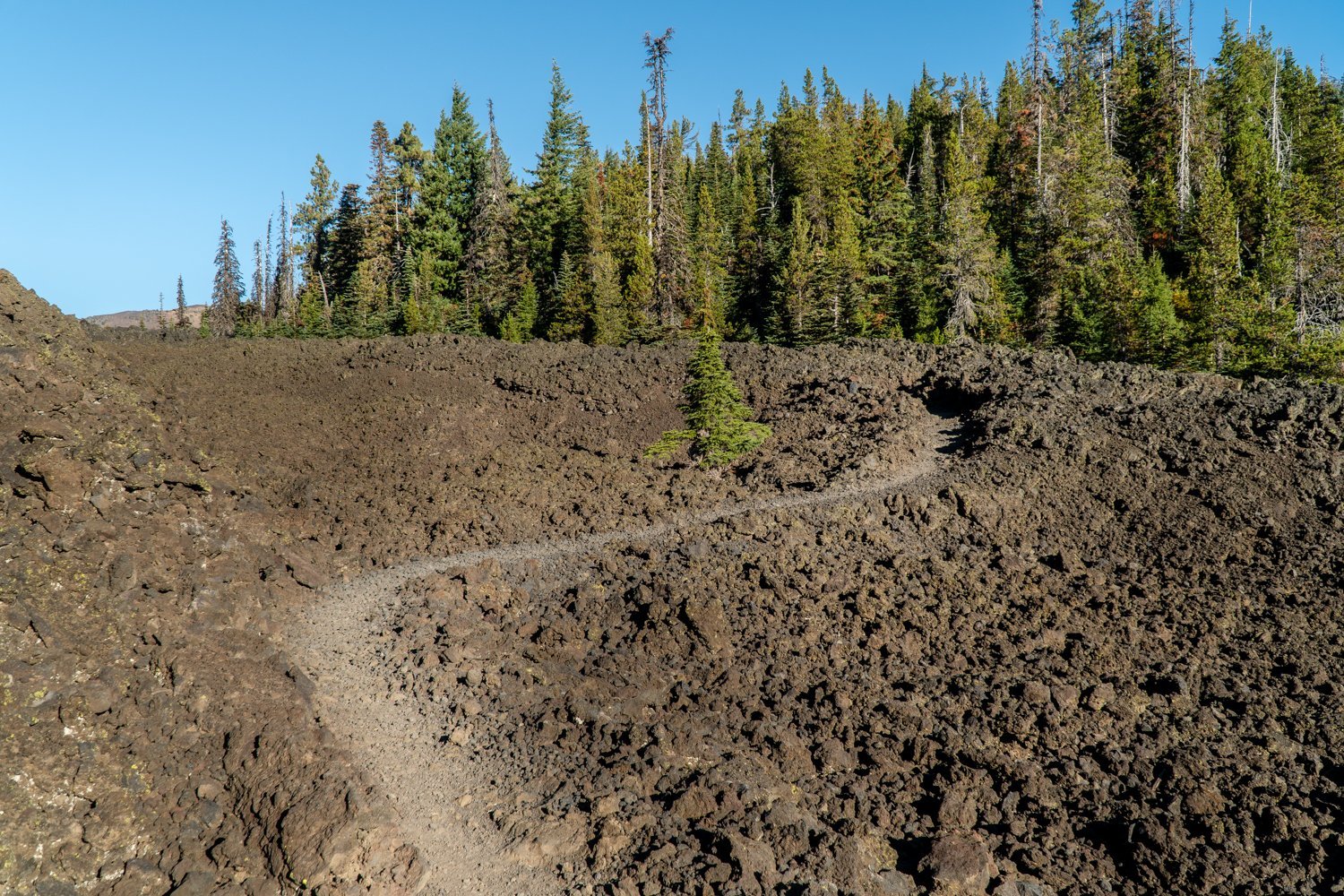
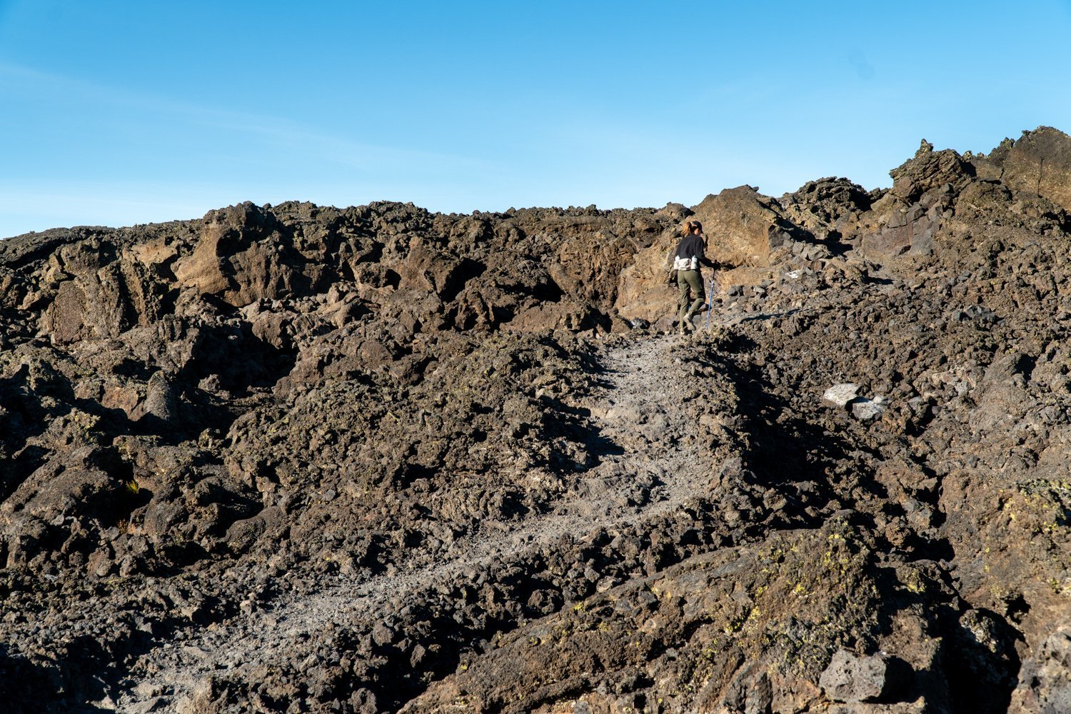
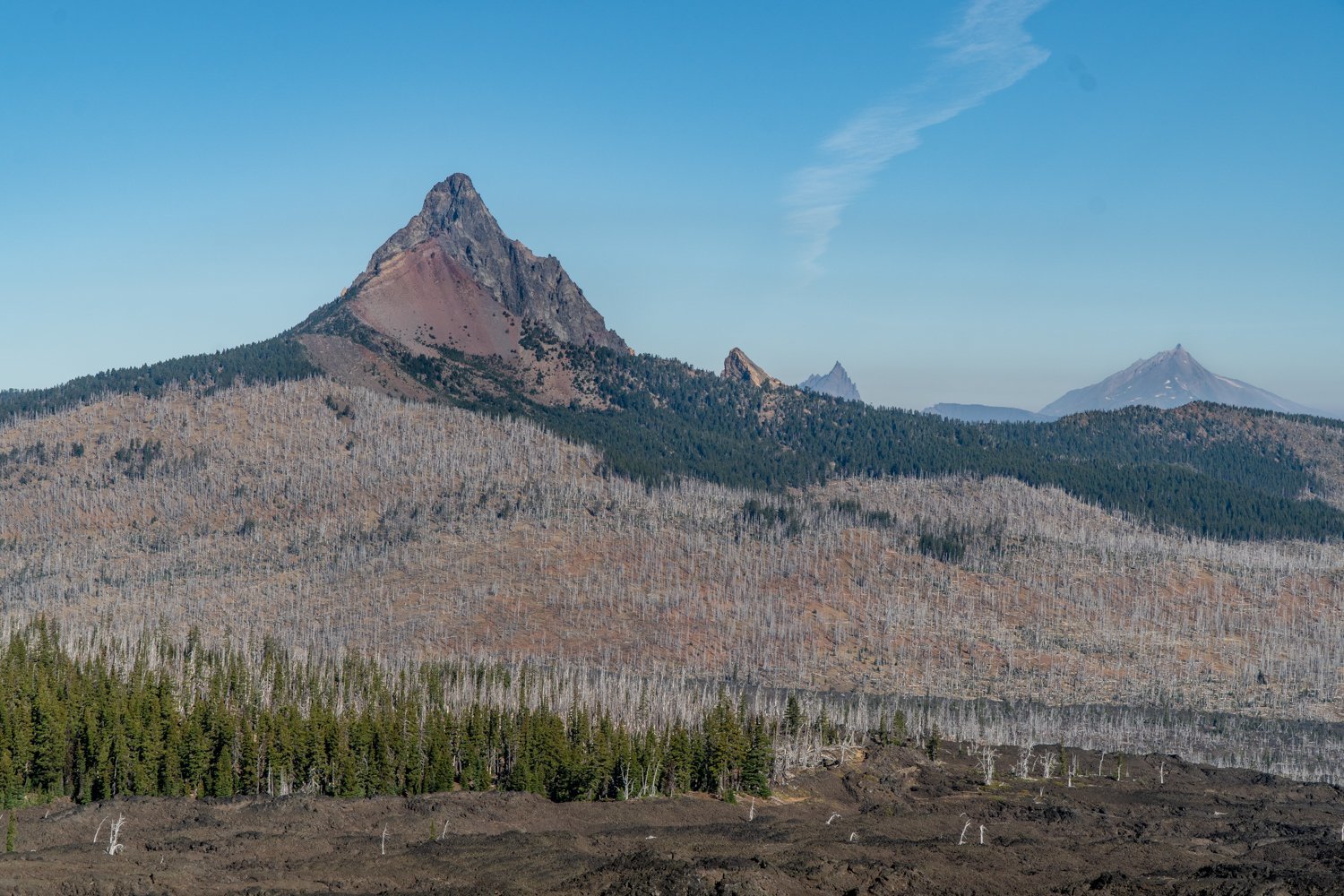
Belknap Crater Hike in the Mt. Washington Wilderness Treks Through a lot of Rock
Lots of Sun and Exposure on Little Belknap Crater Hike
Wear a hat and have good shoes if you decide to hike to Little Belknap Crater. With little shade, summertime temperatures can be high, so a fall hike is recommended. This was the second time we hiked to Little Belknap, so we knew what to expect. We took this hike on October 15, 2022, the last day for the required 2022 Central Cascades Wilderness Permits and we saw a total of 10 other people the entire time. It was a beautiful fall day with temperatures reaching the 60's, and despite some haze from the Cedar Creek fire which has been burning in the Willamette National Forest since early August, the views were good. After taking in the sights from the top of Little Belknap, we elected to continue on the Pacific Crest Trail to see if we could reach George Lake near Mt. Washington, a place we have never been.
 |
 |
 |
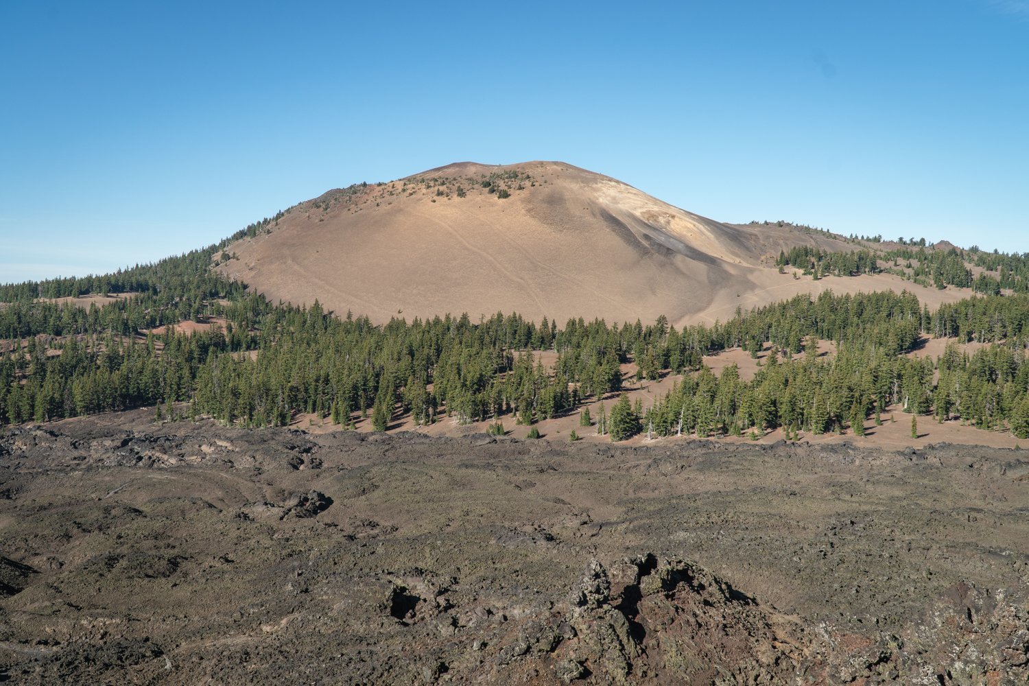 |
As we hiked past Little Belknap and the end of the acres of lava rock, we entered the forest and enjoyed the trees and fall foliage before, to our surprise, we were back trekking through lava rock interspersed with dead trees, the result of the 2017 Milli Fire. However, there were signs of new life with young trees and plants and even chipmunks and ground squirrels. Once we reached the end of the lava, the PCT turned left and the trail continued around the flanks of Mt. Washington. However, we had already hiked over 5 miles. Knowing we still had to hike out, we turned around and returned the way we came; we will have to find George Lake another day. All in all we traveled over 10.5 miles with 2000 feet of elevation gain mostly over difficult hiking conditions with the loose rock.