Posts in category 'Great Oregon Hikes'
Subscribe and receive email notifications of new blog posts.
 RSS Feed
- 2026 | 72 Posts
- 2025 | 103 Posts
- 2024 | 110 Posts
- 2023 | 72 Posts
- 2022 | 52 Posts
- 2021 | 70 Posts
- 2020 | 84 Posts
- 2019 | 38 Posts
- 2018 | 48 Posts
- 2017 | 39 Posts
- 2016 | 31 Posts
- 2015 | 10 Posts
11
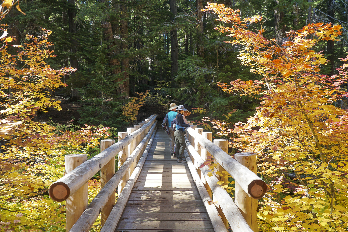
Hike Central Oregon's Clear Lake for Fall Color and Waterfalls
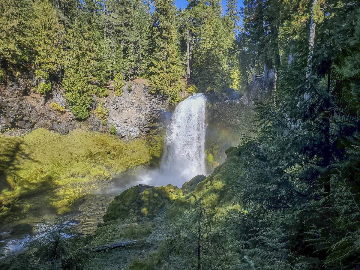
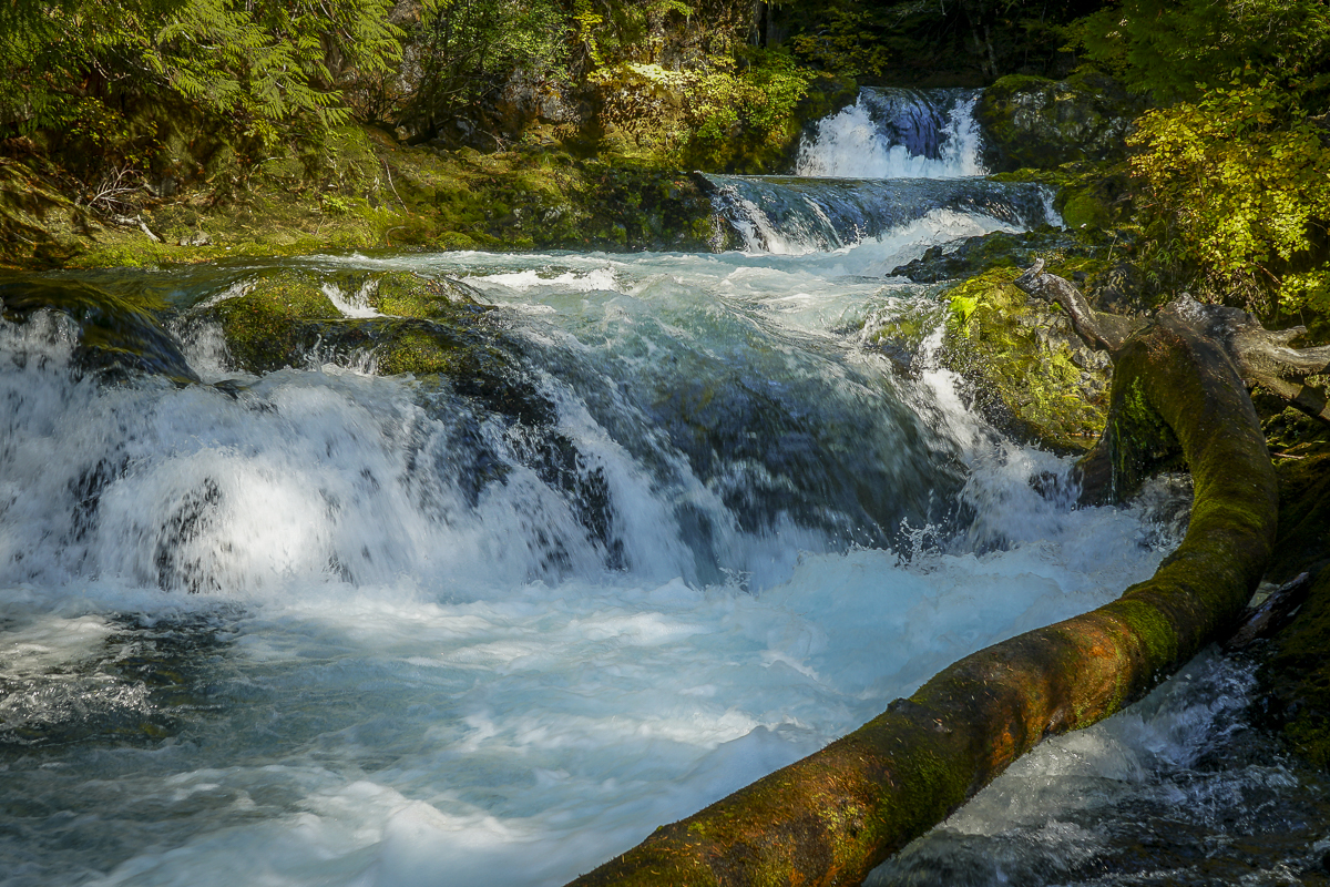
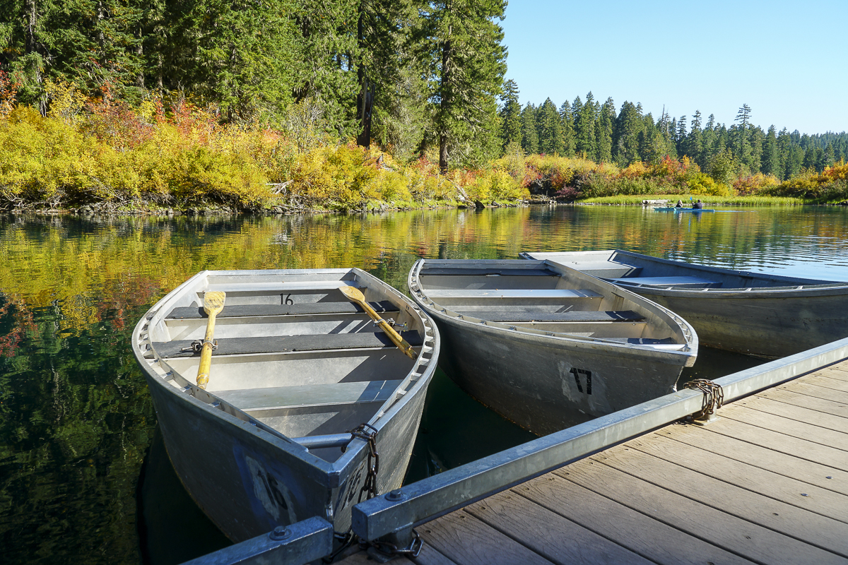
In all the years we have lived in Central Oregon, we have never been to Clear Lake, much less hiked around it. Located off Hwy 126 just south of the junction with Hwy 20 in the Willamette National Forest, the Clear Lake trailhead is next to the parking lot of the Clear Lake Resort where cabins, fishing supplies, boats and kayaks are available for rent. We arrived early before the parking lot filled and started our hike along Clear Lake's western shore. When we reached the southern edge of the lake, we took the cutoff trail to the Sahalie and Koosah Falls loop, which extended our hike and enabled us to view these beautiful waterfalls from the western side as well as the well known eastern viewpoints.
 |
 |
 |
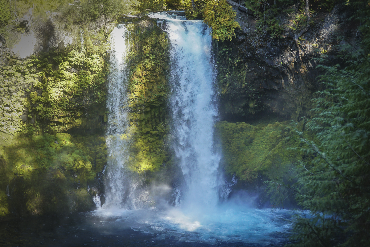 |
After completing the loop around the falls, we returned to Clear Lake and continued our hike up its eastern edge, passing the spring which is the headwaters of the McKenzie River and the northern edge of the lake. In reading up on Clear Lake, we learned that the lake was formed 3000 years ago when lava from Sand Mountain reached the river and backed up the water to form the lake. Hikers and boaters can still see remnants of the drowned forest in submerged trees still standing under 120 feet of water. The water is near freezing which is why these trees have not fully decomposed after 3000 years.
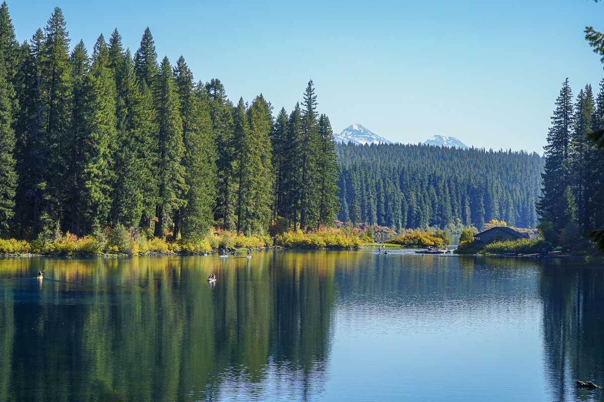
The northern part of the lake provides for views of North and Middle Sister. It is also here that we saw beautiful reflections in the lake, which at times had a turquoise tint. In returning to the lodge, the parking lot was filled to overflow. Our entire hike, including the waterfall loop, was just less than 10 miles and under 1000 feet of elevation gain. People wishing to see the beautiful colors need to hurry before the leaves fall.
 |
 |
 |
 |
3
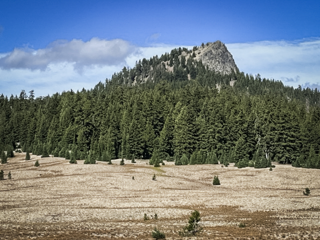
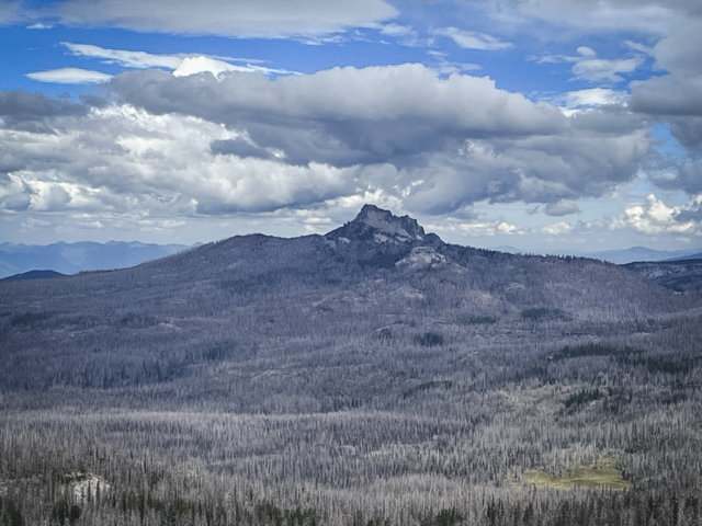
Hike Pamelia Lake to Grizzy Mountain 2023
Pamelia Lake is a Very Popular Hike in the Mt Jefferson Wilderness
Prior to the recent adoption of hiking passes in the last 3 years, Pamelia Lake was one of a handful of Central Oregon hikes requiring a pass to access. This special lake is an easy 2.5 mile hike which gains 550 feet of elevation as it passes through beautiful old growth forest, complete with many rhododendrons which bloom in late spring. Our hike in late September, 2023, included some views of fall color in sunny spaces where vine maple grew. We could also see areas where the 2006 flood from Mt Jefferson's Milk Creek Glacier wiped out portions of the trail and lovely moss covered forest floor. Plant life is returning and the area should eventually fully recover.
 |
 |
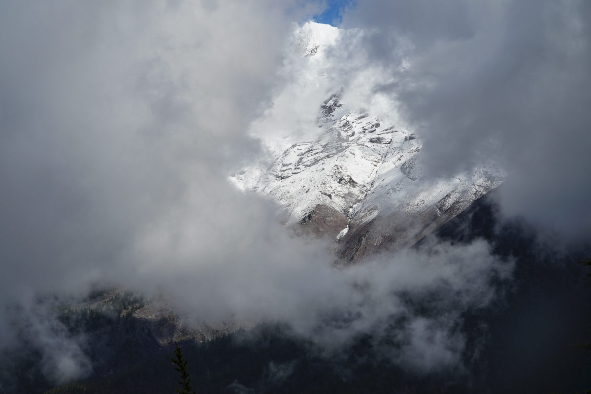
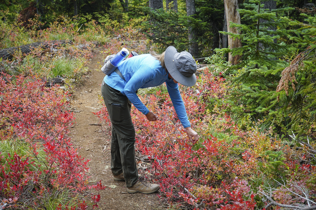
Past the lake, the trail steepens for those planning on summiting Grizzly Mountain. Although over 2200 feet is gained, the path is well graded and doesn't feel as steep as other hikes we have taken in the past. It is another 3.3 miles to reach the top, the entire way in forest with a great viewpoint break roughly .7 miles from the summit. On a clear day, fabulous views of Mt Jefferson should be visible. For us, however, it was cloudy and while peek-a-boo views of Mt Jefferson appeared as the clouds moved, we never saw the entire mountain at once. However, the top of Grizzly Mountain was a great place for a lunch break before we returned back the way we came, enjoying again the hike through the forest with portions of the trail next to lovely Pamelia Creek. Our entire hike was 11.66 miles with 2739 feet of elevation gain. We hope to return next spring to see the rhododendrons in bloom.
 |
 |
28
Hike Marion Lake to Marion Mountain to Marion Falls for a Wonderful Experience
Marion Falls is a Hidden Treasure
Marion Lake, on the west side of Santiam Pass, is a lovely lake that we had never seen during all the years we have lived in Central Oregon. The drive to the trailhead is longer than what we normally travel for our day hikes (roughly 1.5 hours), but the 10 mile gravel road off Hwy 22 to the trailhead is well maintained and easy to access. We hiked to Marion Lake on a late September Saturday in which the air quality in Bend was poor. Reports showed that the quality of the air west of Santiam would be better than in Bend, so we felt a hike in this area would be warranted and were able to obtain two passes.
 |
 |
Once we arrived, the trail began with a fairly short hike through the woods to Ann Lake, a smaller body of water in which the lake's rocky outlet flowed under our trail, creating interesting sounds. Past this point, the wooded trail continued until we reached larger Marion Lake. The trail steepened here, passing through some burned forests until we eventually reached Marion Mountain. There should have been great views of Mt. Jefferson and Three Fingered Jack from the peak of this mountain, but they were shadowed through smoke. After a short break, we returned down the trail, sampling wild blueberries which were still hanging from their fall foliaged bushes. We knew there was a trail somewhere to Marion Falls in the area, but it wasn't until we consulted with a couple of hikers we met that we were directed to the non-maintained social trail which is not on current maps. We quickly discovered why the forest service does not want people to hike this direction; the path has places which are extremely steep, slippery, and can be dangerous. Careful hikers will find plenty of rocks, trees and roots to hold onto to travel up and down this path, however, to obtain great views of both Upper and Lower Marion Falls.
 |
 |
The entire hike was 12.24 miles with 2381 feet of elevation gain. We will return to this section of the Mt. Jefferson Wilderness soon. There are many trails which we need to explore!
22
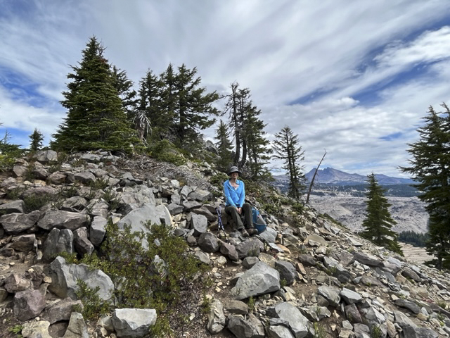
Hike to No Name Lake Via Tam McArthur Rim
Hike Tam McArthur Rim to Broken Top For a Different Approach to No Name Lake
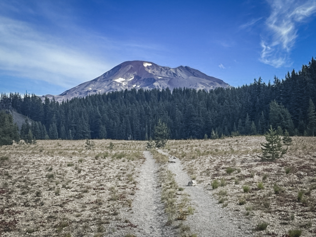
Each year we hike to Broken Top from different trailheads, often arriving at our final destination at No Name Lake, the beautiful glacial aqua blue lake located on the eastern edge of the mountain. One of our favorite hikes includes first a trek to Tam McArthur Rim overlooking Three Creeks Lake outside of Sisters which in itself can be the destination for many. For us, this extended hike passes Tam McArthur Rim on the well marked but "not maintained" trail to Broken Hand and then to the rim overlooking No Name Lake. The total trip for us includes a side trip north of Broken Hand into the safer, but longer path around Broken Hand and then up to the rim. This hike exceeds 10 miles and 2000 feet of elevation gain, but is well worth the trip for the beauty of close views of all Three Sisters and Broken Top. At one point on the hike, views from Mt. Bachelor to Mt Hood are visible - 9 total Cascade Peaks.
 |
 |
 |
 |
5
Wickiup Plains in the Three Sisters Wilderness Offers Unexpected Surprises
We have hiked Wickiup Plains in the past, reaching it after first traveling to Sisters Mirror Lake. Another time we hiked through it on our way to Moraine Lake, a wonderful destination or pass through for those hiking to the top of South Sister. Last Saturday we had a break from the smokey air resulting from several forest fires and we capitalized on hiking to Wickiup Plains once again, this time with new plans. These included climbing two hills overlooking Wickiup Plains - Le Conte Crater and The Wife.
 |
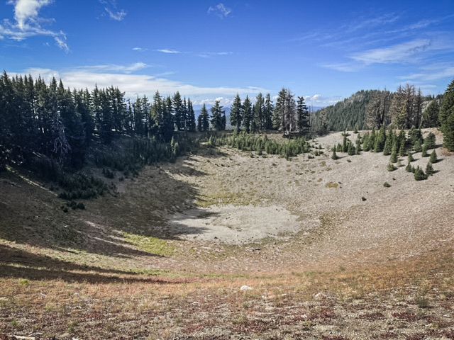 |
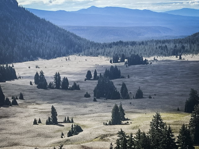
Wickiup Plain is mostly a cinder plateau through which the Pacific Crest Trail passes. However, there are fabulous views of the western flanks of South Sister and Broken Top from the plain that many never see. The trip up to the top of Le Conte Crater had a social trail we found which is not on any map and was worth the hike.
 |
 |
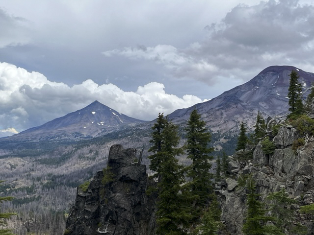
The Wife, however, was a difference experience. Many have heard of The Three Sisters and Mt Bachelor, four of the well recognized Cascade Mountain Peaks in Oregon. But besides the Sisters (also named Faith, Hope and Charity), there is Little Brother, The Husband and The Wife. Little Brother is part of the Three Sisters, its flank abutting Middle and North Sister. However, The Husband and The Wife stand alone without much recognition. The Wife is next to the Wickiup Plains and after coming down from Le Conte Crater, we trekked across the plains to The Wife. Rising over 7000 feet above sea level, The Wife is still drawfed by South Sister, which is the third highest peak in Oregon at over 10,300 feet. But having hiked both now, I can honestly say that the steepness of The Wife felt greater than what we experienced on South Sister. One review said the last 1/2 mile to the top of The Wife was at a 65 degree grade. But unlike South Sister, this grade is on small pumice stones in which tufts of fescue and other vegetation live. South Sister is nothing but pumice rocks and scree at the top. There was no trail to the top of The Wife whereas there is a clearly defined path to the top of South Sister. But the hike up The Wife was far shorter than that to summit South Sister.
 |
 |
Despite the steepness of the hike up to the the peak of The Wife, the slopes to the north and west of The Wife are dangerously steep and we were careful at the top to avoid getting too close. However, the views were amazing. The Husband was to the north and South and Middle Sister were to the northeast. The air was clear despite recent rain, which probably helped immensely with our forest fires.
 |
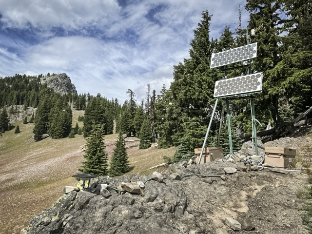 |
When we climbed down from the top of The Wife, we checked out what we think is a set up by the US Geological Survey to measure uplifts in the ground around South Sister. We have heard for years about the growing bulge near South Sister which is believed to be caused by build up of magna under the earth. We think the machinery we found is part of what is used to measure this. Hopefully we won't have another Mt. St. Helens in the near future!