
14 articles found with the search of "oregon cascades"
Subscribe and receive email notifications of new blog posts.
 RSS Feed
- 2026 | 96 Posts
- 2025 | 102 Posts
- 2024 | 110 Posts
- 2023 | 72 Posts
- 2022 | 52 Posts
- 2021 | 70 Posts
- 2020 | 84 Posts
- 2019 | 38 Posts
- 2018 | 48 Posts
- 2017 | 39 Posts
- 2016 | 31 Posts
- 2015 | 10 Posts
7
Canyon Meadow and Three Fingered Jack are Wonderful Summer Central Oregon Hikes
The Wildflowers are Abundant in Central Oregon's Canyon Meadow in the Mt. Jefferson Wilderness
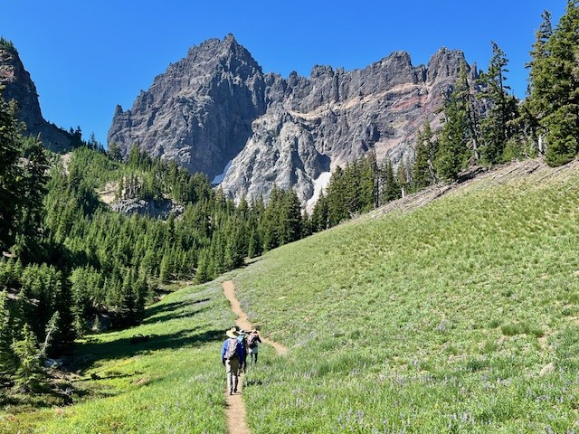
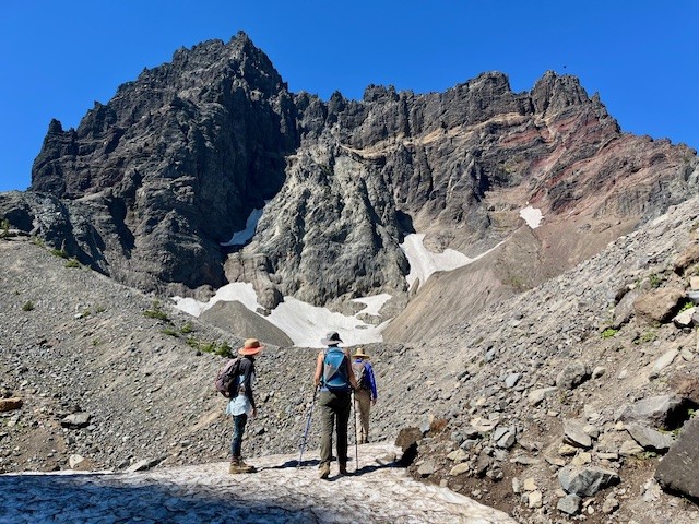
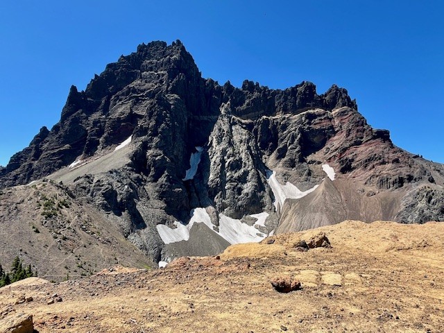
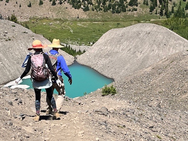
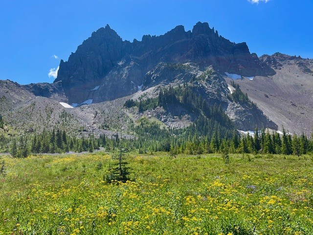
The heavy snow experienced during the winter of 2024-2025 delayed the opening of the most popular Central Oregon hikes until later in the summer. However, the heavy snow also provided extra moisture in the soil which has resulted in a fabulous wildflower season. Among the best areas for wildflowers in the Central Oregon Cascades is Canyon Meadow, part of the hike to the base of Three Fingered Jack. Canyon Meadow hike is a moderate loop that takes hikers from Jack Lake to the meadow and then returns through the burned forest resulting from 2003's B & B complex fire. However, for those wanting a more challenging hike, taking the unmaintained spur from Canyon Meadow to Three Fingered Jack provides for spectacular views and a tough scramble up the moraine of Jack Glacier (unofficial name) which is mostly gone. The aqua blue of the glacial lake was especially stunning the beginning of August. Hikers can climb the moraine until they reach the ridge connecting Three Fingered Jack with the unnamed colorful hoodoo next to it. The flat top of the ridge can be a great location for lunch or a snack before taking the slow trek down the moraine back to the more established trail. There is a side trail that can be taken to the upper meadows following the stream which exits the moraine. The upper meadow was stunning with blooming wildflowers the beginning of August. Once the lower meadow is reached, the loop back to Jack Lake can be taken, although much of this is in burned forest. Another option is to return the way hikers arrived at Canyon Meadow rather than continuing the loop through the burned forest. This will add elevation and distance, however.
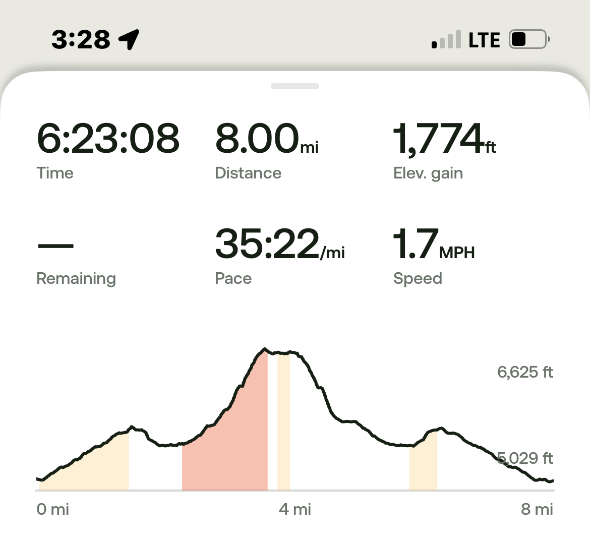
All in all, for those not taking the loop but returning the way to Jack Lake that they arrived at Canyon Meadow, the entire hike is roughly 8 miles and just shy of 1800 feet of elevation gain.
 |
 |
 |
 |
 |
 |
30
Hiking Tam McArthur Rim to No Name Lake in Fall is an Experience
Cascade Mountain Hikes in Fall Can Have Unexpected Weather Conditions
Hiking in the Oregon Cascades in the fall can offer amazing experiences with stunning views, early snow, fall colors, and no need for forest passes. However, the weather can also change suddenly and hikers need to be prepared.
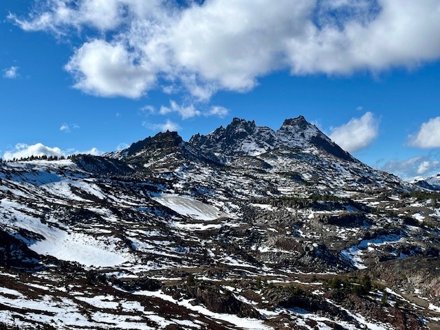
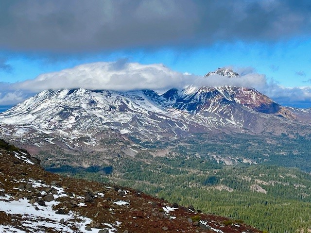
On October 26, 2024, the hike from Three Creeks Lake to Tam McArthur Rim began with low clouds covering the Cascades. The hike up from the trailhead (the sign was already covered for winter), to the rim experienced some wind, although much of the early part of the trail was in sheltered forest. Once reaching the rim, the winds really picked up, but the clouds also lifted so that the mountains (Broken Top, The Three Sisters, Mt Washington, Three Fingered Jack) could be seen.
 |
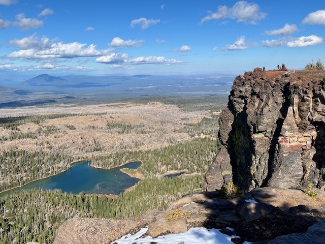 |
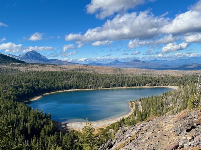
Typically the unmaintained trail from Tam McArthur Rim to Broken Top and No Name Lake is fairly simple until hikers reach the cinder rim which is traversed before getting to Broken Hand. On October 26, the clouds lifted and the wind picked up. For those not prepared for wind chill, the gusty winds would have really impacted comfort. Hiking below Broken Hand rather than across the face made a lot of sense as the wind was getting even more fierce. Upon reaching the ridge overlooking No Name Lake, the wind was extremely strong and it was difficult to even stand; anything loose would have been blown off the ridge. Getting a few pictures and returning to a more sheltered space behind a rock outcropping made sense, as well as drinking hot drinks before attempting the trek back. Very few people traveled this hike to Broken Top this day, although upon returning to Tam McArthur Rim, there were a good number who had reached the rim in the afternoon once the weather warmed a bit.
Anyone who hikes in the Cascades in the fall needs to be prepared for changing weather and unexpected situations. But for those who do, the rewards can be amazing.
 |
 |
4
Take the Climbers Trail to Middle Sister and See Sights Few Experience
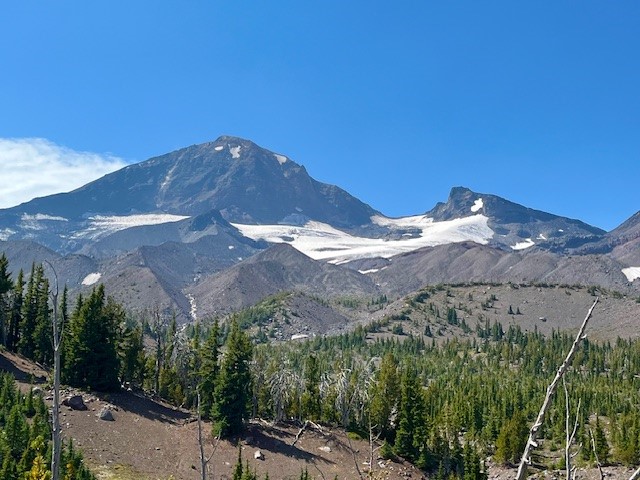
If you are one of the people who love to climb mountains, you are probably familiar with the climber's trail which provides the established way to summit North Sister in the Oregon Cascades. For those not that ambitious but who love a long day hike, taking the trail part way will enable hikers to have amazing Cascades views plus close up access to Hayden Glacier on Middle Sister.
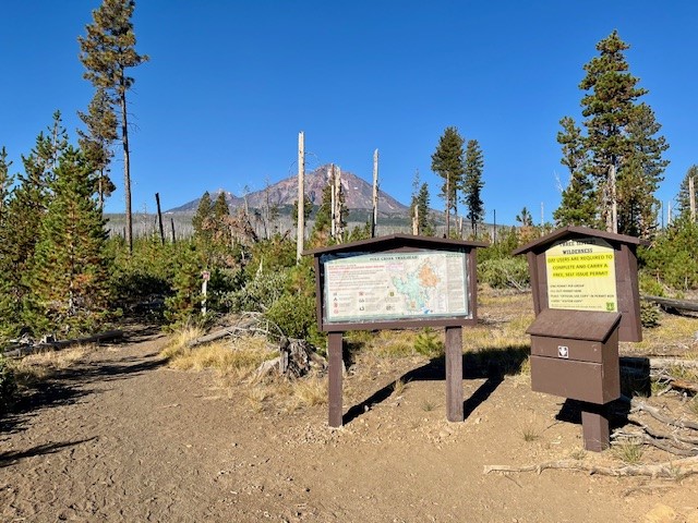
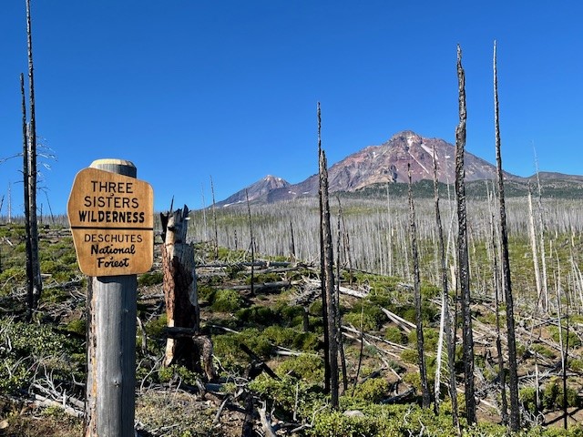
The route to Hayden Glacier starts at the Pole Creek Trailhead. This is the same trail that is taken to reach Camp Lake which provides for wonderful access to the north facing slopes of South Sister. The first 3.5 miles is through the burned forest of the 2012 Pole Creek fire, but after leaving burned woods, the trail enters healthy forest and the trek is shaded. Before hikers reach the North Fork of Whychus Creek, an unmarked trail intersects the main path. Climbers take this path (which has an optional loop up and back) to access the hike to summit North Sister.
 |
 |
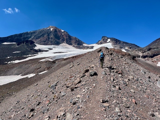
The climbers' trail gains elevation quickly as hikers walk up the lower slopes of Middle and North Sister. The first mile or so remains in shaded forest, but as hikers gain elevation, they leave forest and start walking through the jumbled rock and ash of multiple moraines. At one time these were filled with glaciers, but these have mostly melted, leaving behind the steep gullies and loose stone scrapped off the mountains over thousands of years. Climbing up the moraines can be difficult, but coming down is harder as it is easy to slip on the loose stone.
 |
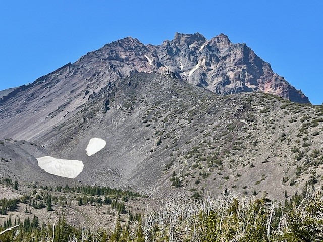 |
For those who do continue the technical climb up North Sister, it is recommended this be done in a group with people who really know what they are doing. For those of us who just enjoy a great, long day hike, the option to travel to Hayden Glacier is one very few do and it can be very rewarding. The entire trip, including the loop up and back the climber's trail, is under 3000 feet of elevation gain and less than 13 miles back to the Pole Creek Trailhead.
25
Hike to Broken Top from Todd Lake
The Hike to Broken Top is Among Central Oregon's Favorites
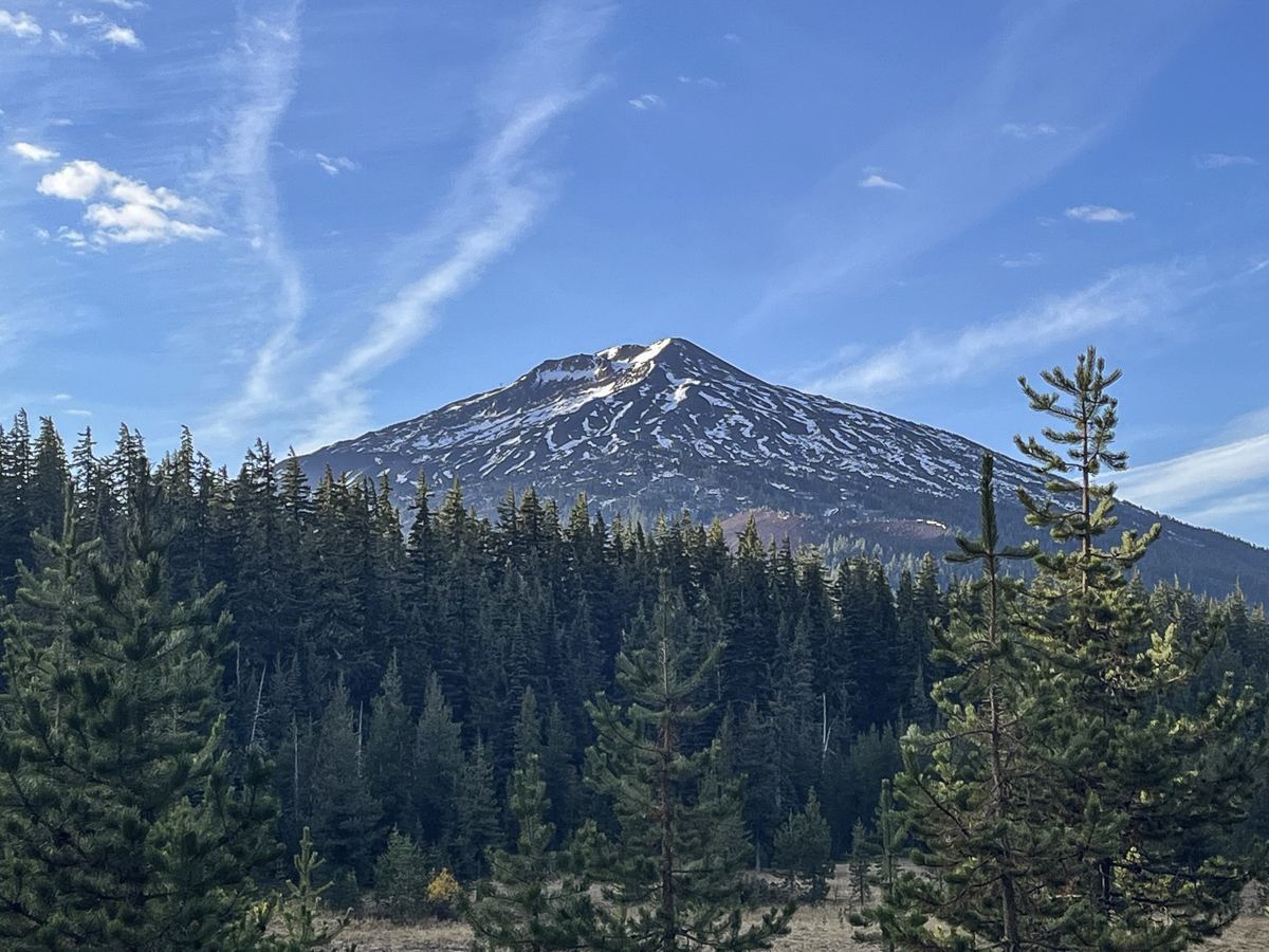
People exploring the Three Sisters Wilderness can hike to Broken Top from multiple trailheads. Three Creeks to Tam McArthur Rim provides for a social trail past Broken Hand to Broken Top and No Name Lake. Hikers looking for more distance can start at the Green Lakes Trailhead and hike Soda Creek to join with the Broken Top trail. Most people will drive past Todd Lake on the poorly maintained road to the Broken Top trailhead (high clearance vehicles are recommended) and cut the distance to 5.5 miles and under 1500 feet of elevation gain. And there is a well defined trail starting at Todd Lake which creates a much longer hike through old growth forest to join with the Soda Creek Trail and then the Broken Top trail. Total distance to the Broken Top summit exceeds 14 miles and pushes 2700 feet of elevation gain, but the experience is well worth it. Stunning views of Broken Top's eastern flank and Mt Bachelor become visible after hikers join with the Broken Top trail; bushwhacking in this open area can lead to new areas to explore and other beautiful views.
 |
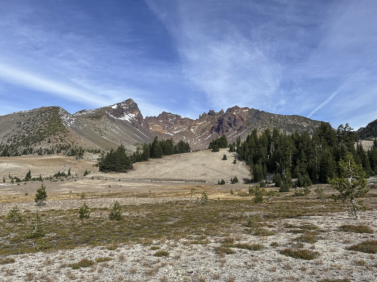 |
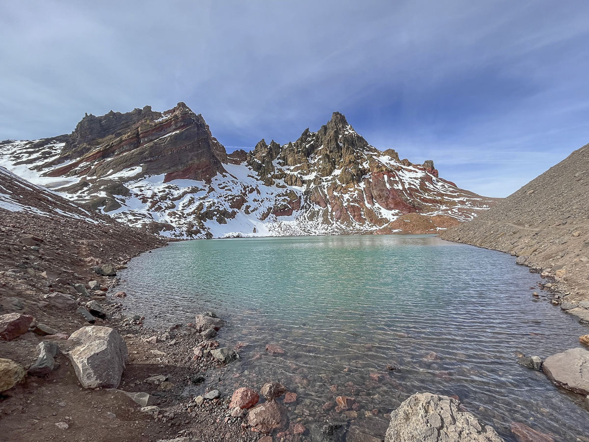
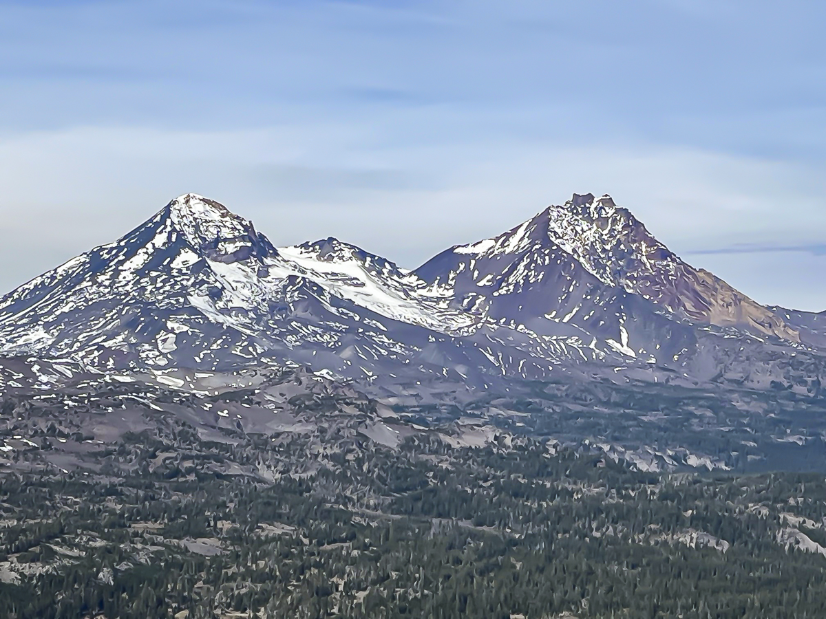
The hike taken October 21, 2023 was on a sunny, warm day after snow had fallen the week before. Remnants of melting snow were obvious, but created no real obstacles for hikers. This was also the first weekend in 2023 that did not require trailhead passes, so the trail was busy with many Broken Top hikers and off leash dogs; at times it seemed as if there were more dogs than people, but all encountered were well behaved and the people very friendly and happy to be out enjoying the beauty of the Central Oregon Cascades. No Name Lake was beautiful and cold with snow and glacial runoff, and the views from the summit toward Middle and North Sister were outstanding, although the ridge was very windy and not the best place to enjoy lunch.
 |
 |
18
Hike Green Lakes in Snow for a Unique Experience
We have hiked to Green Lakes multiple times. However, fewer hike this popular trail when the weather turns cold and cloudy. Our experience hiking to Green Lakes on 10-14-23 was the first we had this year. The trail passes to Green Lakes are so hard to get that if you are 30 seconds past 7 am on the US Forest Service website, you will be too late. Despite trying weekly all year, last Saturday, the last weekend of the year where passes are required, we finally obtained two.
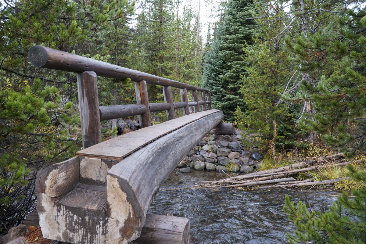
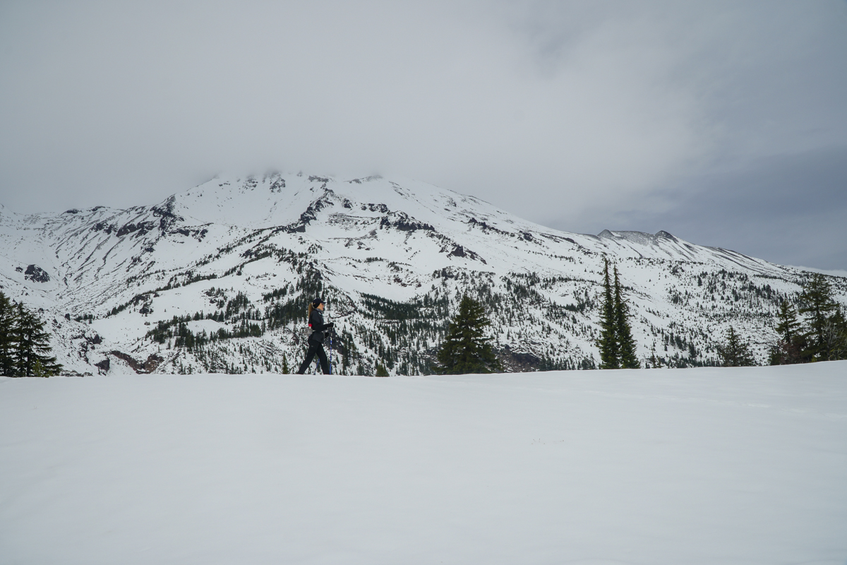
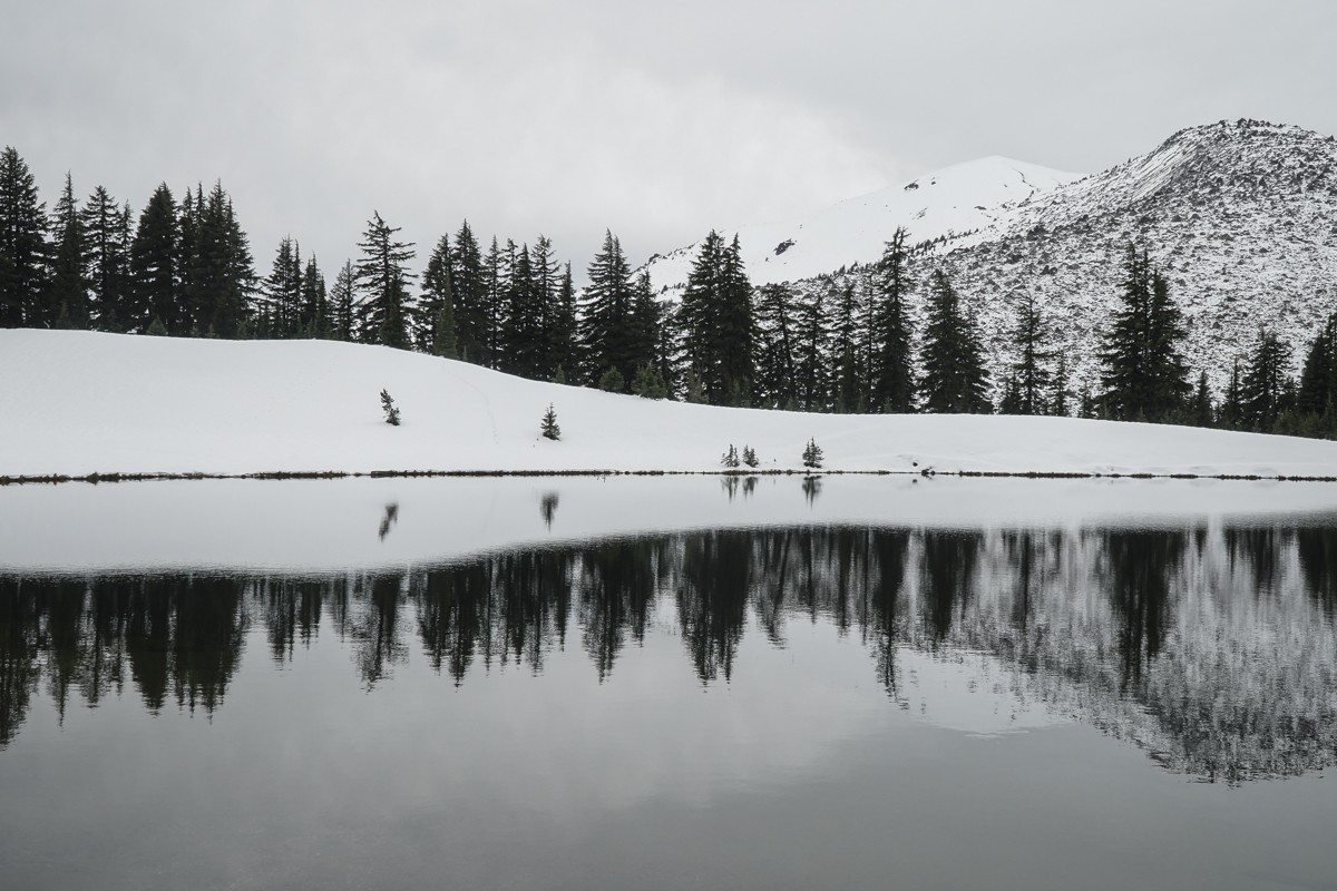
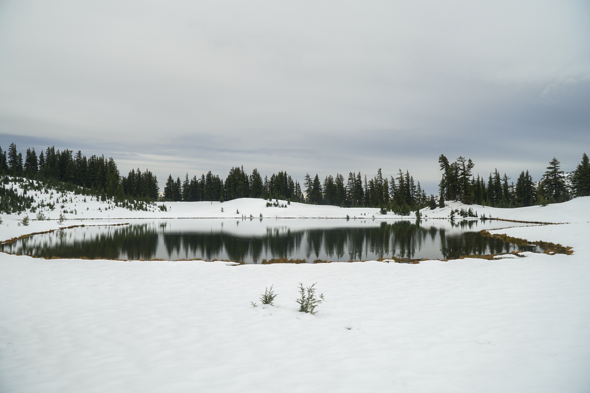
The weather was cloudy and cool, and during our hike the expected "ring of fire" eclipse occurred, resulting in a drop in temperature and a darker sky. However, after that event, the rest of our hike up to Green Lakes was uneventful, outside of hitting more and more snow the higher we climbed. At the second log bridge we put on our microspikes for safety against slippery conditions and the rest of the hike was fine. We had to do some postholing once we reached the first lake, but it was well worth the effort to travel to the far side which fewer people travel to, but is among our favorite spots due to the beautiful views of South Sister which can be mirrored in the lake. We also trekked a bit up the east side of the largest Green Lake, but decided against going further and returned back after enjoying lunch and the views.
On our hike back to the trailhead, we met a good number of hikers coming up in the later afternoon. Our morning experience was solitary with no one visible during our hour at the lake.
 |
 |
 |
 |
 |
 |